
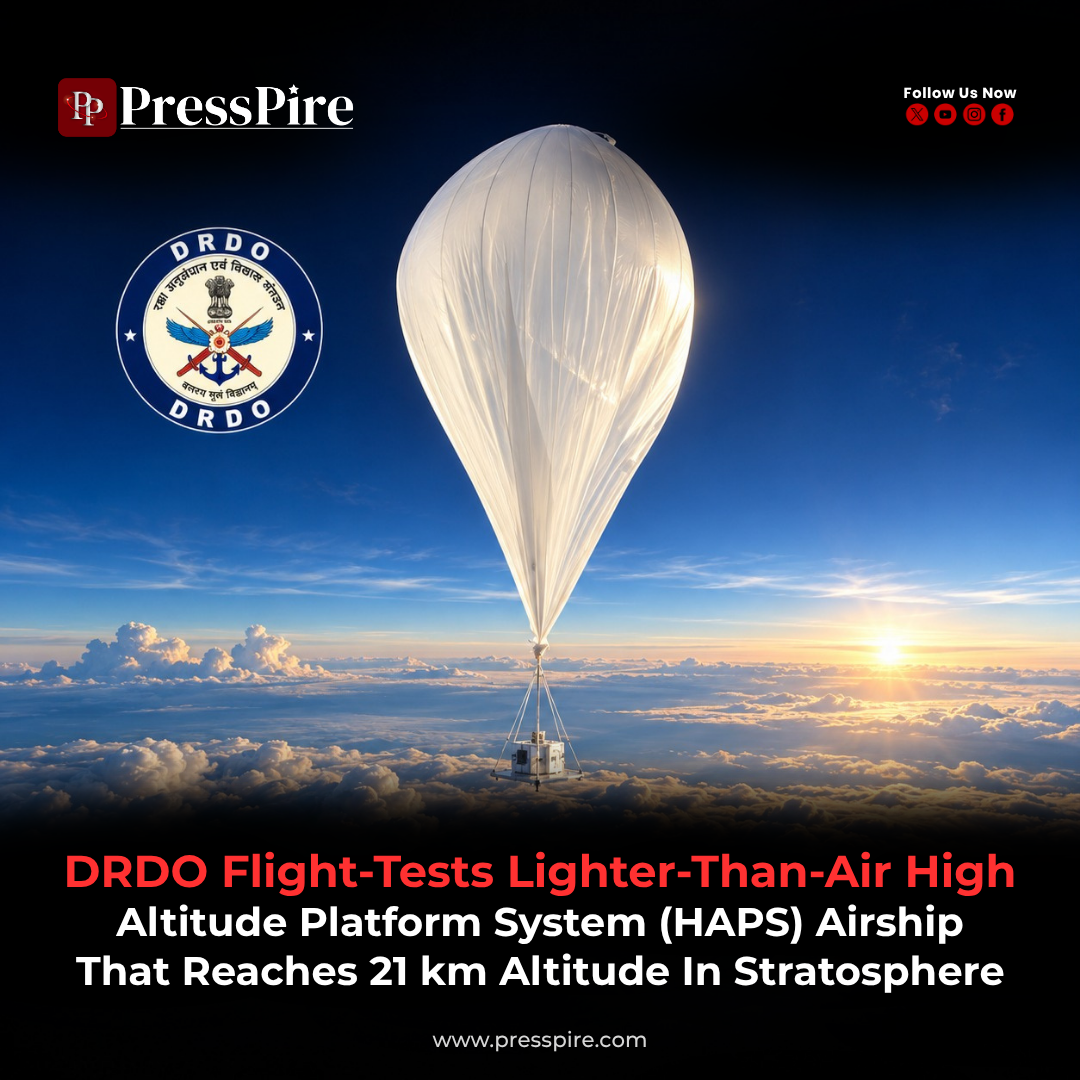
DRDO HAPS Airship Reaches 21 km in Stratospheric Flight Test
The indigenous platform’s successful flight marks progress towards sustained aerial surveillance, building on India’s earlier stratospheric airship trials.
Information checked on 13 October 2026
The DRDO HAPS airship has reached an altitude of 21 kilometres above mean sea level during a successful experimental flight, marking another step in India’s development of high-altitude surveillance platforms.
The Ministry of Defence announced the result on 6 October 2026. The High Altitude Platform System is being developed by the Aerial Delivery Research and Development Establishment (ADRDE), Agra, a laboratory of the Defence Research and Development Organisation.
The project aims to support extended operations in the stratosphere. Its latest trial provides flight data that can help engineers assess the platform and guide further development.
DRDO HAPS Flight Test: What Was Demonstrated?
The official announcement reported the following results:
| Test element | Reported outcome |
|---|---|
| Maximum altitude | 21 km above mean sea level |
| Sustained altitude | 20 km for more than 30 minutes |
| Flight monitoring | Video and vehicle data received at the ground control station |
| Descent and recovery | Descent commanded; system successfully recovered |
The platform carried an inertial measurement unit, GPS receiver, cameras and altitude-control equipment. The trial involved coordination with the Indian Air Force, military airworthiness and civil aviation authorities.
The 30-minute figure describes time spent at the reported operating altitude. It should not be presented as the complete flight duration.
What Makes the Airship Lighter Than Air?
A lighter-than-air platform obtains lift through buoyancy. Gas contained within its envelope is less dense than the surrounding atmosphere, allowing the system to support its structure and equipment.
NASA’s explanation of scientific balloon flight describes the same underlying principle: the upward force depends on the air displaced and the total weight of the system.
This approach creates a different engineering problem from keeping a winged aircraft flying. The envelope, lifting gas and carried equipment must work together as a manageable system.
Atmospheric pressure also falls as a vehicle climbs, allowing the lifting gas to expand. Managing the envelope and its operating conditions is therefore central to high-altitude flight.
The wider HAPS category includes airships, balloons and specialised aircraft. Their designs differ, even when they share an ambition to carry useful equipment high above the ground for extended periods.
Why the Stratosphere Matters
The stratosphere sits above the troposphere, where most everyday weather occurs. NASA describes it as extending to approximately 50 kilometres above Earth, with its lower boundary varying by location.
Operating in this region places a platform above much of the cloud and weather activity found closer to the surface. For observation and communications, that offers a useful vantage point.
However, the operating environment remains demanding. Thin air, temperature changes and atmospheric movement affect the vehicle and the equipment it carries.
A stratospheric platform remains within Earth’s atmosphere. The term “pseudo-satellite”, sometimes used for HAPS, describes its potential to perform certain observation or communications functions from an atmospheric position.
European Space Agency studies have explored how these platforms could complement satellites by providing prolonged coverage of selected regions. Their usefulness depends on matching the aircraft or airship to the mission and its required payload.
Building on the 2025 Airship Trial
The latest announcement follows an earlier milestone in DRDO’s stratospheric airship work.
On 3 May 2025, DRDO conducted a maiden trial from the Sheopur test site in Madhya Pradesh. That platform reached approximately 17 kilometres, carrying an instrumented payload.
The earlier flight lasted about 62 minutes in total. Engineers collected sensor data, evaluated envelope-pressure control and emergency-deflation functions, and recovered the system for examination.
At the time, the Ministry of Defence said the data would support more accurate simulation models for future flights.
The two announcements describe different measures of performance: the earlier release reported total flight time, while the latest specifies a period maintained at altitude. They do not provide enough information for a direct comparison of overall endurance.
Together, the trials show a development process in which airborne measurements inform the next stage of engineering.
ADRDE’s Role in India’s Airship Programme
ADRDE brings an established research base to the project.
The government’s India Science, Technology and Innovation portal identifies its areas of work as including aerostat systems, airship technologies, parachutes, inflatable systems and equipment for aerial delivery and recovery.
Those activities involve several disciplines relevant to high-altitude platforms, including lightweight structures and the handling of equipment during launch and return.
The broader significance of domestic development is the ability to build engineering knowledge around the complete system. In practical terms, that could make it easier to investigate performance, modify designs and adapt future versions to different requirements.
Such benefits would depend on sustained testing, manufacturing capability and support throughout the platform’s service life.
Potential Uses in Surveillance and Communications
Persistent aerial observation is the stated direction of DRDO’s airship programme. The objective is to keep useful sensors available above a region for longer periods.
Across the wider HAPS field, potential applications extend to communications and civilian monitoring.
The International Telecommunication Union identifies high-altitude platforms as a possible means of extending broadband to remote areas and supporting communications when disasters damage ground networks.
ESA has also studied applications in environmental monitoring, search and rescue, and links between satellites and ground stations.
These examples explain the wider interest in the technology. The equipment needed for each task differs, and a successful vehicle trial does not establish that every application has been demonstrated on the Indian platform.
The Engineering Challenge Behind Long Endurance
For a useful operational system, reaching altitude is one part of the task. The platform must also carry its equipment, supply power and maintain dependable communications.
ESA’s HAPS research identifies power supply, station keeping and antenna stability among the technical challenges. Station keeping means remaining near a chosen location despite atmospheric movement.
Maintaining altitude and holding a position over the ground are separate capabilities. Evidence of one should not automatically be treated as proof of the other.
Longer missions would also require consistent performance as operating conditions change. A practical assessment would examine the vehicle, its payload and ground support as one complete service.
The next milestones to watch are longer-duration demonstrations, clearly defined payload performance and repeatable launch-and-recovery operations. These would help show how the experimental work is progressing towards a dependable surveillance capability.
For more insights navigate: PressPire | Stories That Shape the Future
Read previous article here : raktkhoj-openai-challenge-blood-search/
Follow PressPire on Facebook | Instagram | LinkedIn | YouTube
PressPire | Stories That Shape the Future