
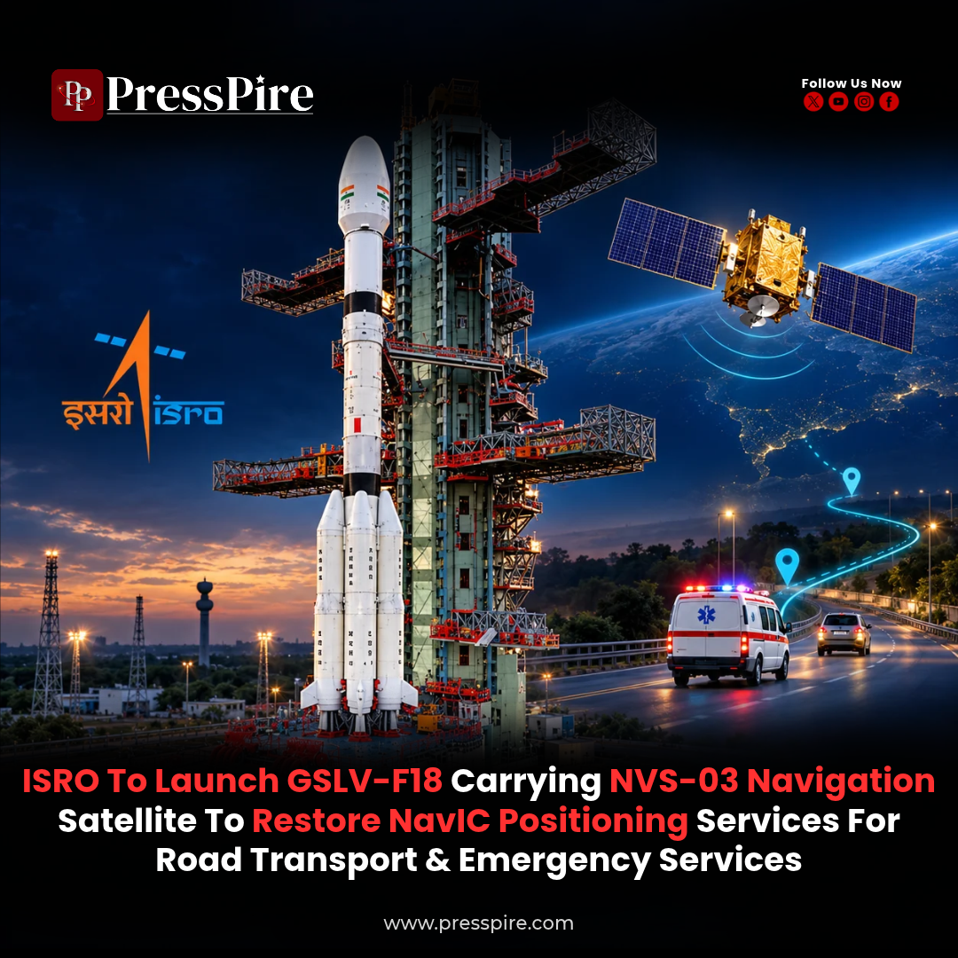
ISRO Prepares NVS-03 Launch to Restore NavIC Positioning
The GSLV-F18 mission could help rebuild India’s independent positioning capability, supporting applications in road transport, vehicle tracking and emergency response.
The NVS-03 launch is set to become an important step in ISRO’s effort to strengthen India’s satellite navigation system. The Indian Space Research Organisation is preparing to send the navigation satellite into space aboard GSLV-F18, with 30 October 2026 reported as the target launch date.
According to a 22 October report by The Indian Express, ISRO Chairman V. Narayanan indicated that the mission had been cleared for a launch attempt from the Satish Dhawan Space Centre at Sriharikota, Andhra Pradesh.
NVS-03 is the third satellite in the second-generation NavIC programme. Successful deployment and commissioning could help restore the constellation’s standalone positioning capability, with practical relevance for transport operators, emergency services and other users of location data.
NVS-03 Launch: Key Details
| Detail | Information |
|---|---|
| Space agency | Indian Space Research Organisation |
| Satellite | NVS-03 |
| Launch vehicle | GSLV-F18, using the GSLV Mk II |
| Reported launch target | 30 October 2026 |
| Launch location | Satish Dhawan Space Centre, Sriharikota |
| Navigation programme | Navigation with Indian Constellation, or NavIC |
| Main objective | Replenish the constellation and support continuity of navigation services |
| Status | Planned mission; operational service depends on deployment and testing |
What Is NavIC?
NavIC, short for Navigation with Indian Constellation, is India’s regional satellite navigation system. It was previously known as the Indian Regional Navigation Satellite System, or IRNSS.
The system is designed to provide positioning, navigation and timing services across India and a surrounding region extending approximately 1,500 kilometres beyond its boundary.
Its original design combines seven satellites with a ground network that controls operations, monitors signals and maintains precise timing.
NavIC has two principal services: the Standard Positioning Service for civilian users and the Restricted Service for authorised users. Compatible receivers use satellite signals to calculate location and time, supplying information that applications can use for navigation, tracking and other purposes.
Why the NVS-03 Launch Matters
In a parliamentary reply dated 29 July 2026, the Department of Space said NavIC had three satellites available for positioning, navigation and timing: IRNSS-1B, IRNSS-1I and NVS-01.
The government explained that a minimum of four operational satellites was required for basic positioning. Consequently, NavIC could not provide standalone positioning at that stage, although its timing service remained functional.
A successfully commissioned NVS-03 could help address this shortfall. Actual service availability will also depend on satellite health, usable coverage and the performance of the wider system.
ISRO’s navigation guidance explains why four satellites matter. A receiver must determine its position while also accounting for the difference between its own clock and satellite time. Measurements from multiple satellites allow those unknowns to be resolved.
This is why placing another functioning navigation satellite into service has significance beyond increasing the constellation’s total spacecraft count.
What the Second-Generation Satellites Add
ISRO envisaged five second-generation satellites—NVS-01 to NVS-05—to replace or supplement ageing spacecraft and support continuity of NavIC services.
The newer series adds L1-band signals alongside the existing L5 and S-band navigation signals. The additional civilian signal is intended to broaden adoption and improve compatibility with other satellite navigation systems.
NVS-01, launched in May 2023, also carried an indigenous atomic clock, marking an important development in India’s navigation technology.
Atomic clocks help satellites maintain the precise timing needed for accurate distance measurements. Improving the reliability and domestic availability of these components is therefore important to sustaining the constellation.
For consumers and businesses, the benefits require compatible equipment. A satellite launch alone does not add NavIC reception to a phone or tracking device whose hardware cannot receive and process its signals.
What GSLV-F18 Must Accomplish
The mission uses the Geosynchronous Satellite Launch Vehicle Mark II, a three-stage rocket with an indigenous cryogenic upper stage and four liquid strap-on boosters.
GSLV is designed to place suitable payloads into a transfer orbit. The spacecraft then uses its own propulsion to reach the required operational orbit.
That makes the rocket launch one stage in a longer deployment process. Satellite separation, communication with ground stations, orbital manoeuvres and navigation-payload checks must follow before operational performance can be established.
The distinction is particularly relevant after the experience of NVS-02. ISRO successfully launched that satellite into its intended transfer orbit on 29 January 2025, but subsequent orbit-raising operations could not be completed.
In a February 2026 update, ISRO said an investigation found that a command signal had not reached a valve required for the orbit-raising engine. The review recommended changes to improve the reliability and redundancy of the relevant systems for future missions, where applicable.
How NavIC Supports Road Transport
Location information is an essential input for vehicle tracking and transport management. A dependable Indian navigation service can support businesses and public agencies that need to know where their vehicles are operating.
The Department of Space has identified location systems for public and commercial vehicles, including passenger-safety applications, among the areas where it is working to broaden NavIC use.
Potential applications include:
| Application | Role of positioning information |
|---|---|
| Commercial fleet management | Helping operators monitor vehicle locations |
| Public transport | Supporting tracking and passenger-information systems |
| Logistics operations | Providing location inputs for delivery monitoring |
| Emergency vehicle coordination | Helping dispatch teams locate available vehicles |
These applications also require suitable receivers, communications networks and software. Navigation signals provide a location input; the transport platform uses that information to support its services.
The Relevance for Emergency Services
ISRO lists search and rescue and disaster-related applications among the uses of satellite navigation.
Reliable positioning can help emergency teams identify locations and coordinate movement. For example, a compatible vehicle-tracking system could help a control room see where an ambulance or rescue vehicle is operating.
NavIC also supports a separate one-way messaging capability. ISRO describes its use for broadcasting warnings about cyclones, tsunamis and high sea waves to fishermen.
The government’s March 2026 update distinguished satellites broadcasting navigation signals from those capable of one-way messaging. This explains why a shortfall in standalone positioning does not mean every NavIC-related service has stopped.
What Comes After the Launch?
The immediate milestones will be a successful launch, deployment into the required orbit and verification of the satellite’s navigation functions.
The longer-term task is to maintain reliable service as older spacecraft reach the end of their operating lives. In its July update, the government said NVS-04 and NVS-05 were at an advanced stage of development.
For equipment manufacturers and service providers, sustained constellation availability can support investment in compatible receivers and applications. The NVS-03 mission’s practical value will emerge through the navigation capability delivered after commissioning.
For more insights navigate: PressPire | Stories That Shape the Future
Read previous article here : 53-industrial-projects-in-39383-crore-2/
Follow PressPire on Facebook | Instagram | LinkedIn | YouTube
PressPire | Stories That Shape the Future